PROJECT OVERVIEW.


Microtunnelling helps dewater M1 escarpment
The M1 motorway is the main road linking Sydney and Wollongong. It is also a major coal haulage road for the coal mines around Appin to the coal loader at Port Kembla.
Mount Ousley Rd, is a steep section of the M1 which transitions from the escarpment at an elevation of 400m to the coastal plain at 15m above sea level. The M1 is cut into the existing vertical sedimentary cliffs and associated tallus slopes.
The RMS have for a number of years undertaken projects which are aimed at stabilising the M1 by dewatering the mass of rock on which the M1 is founded.
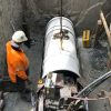
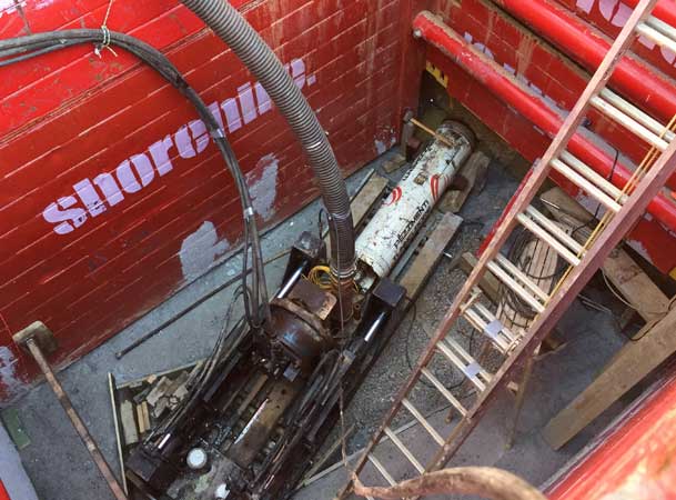
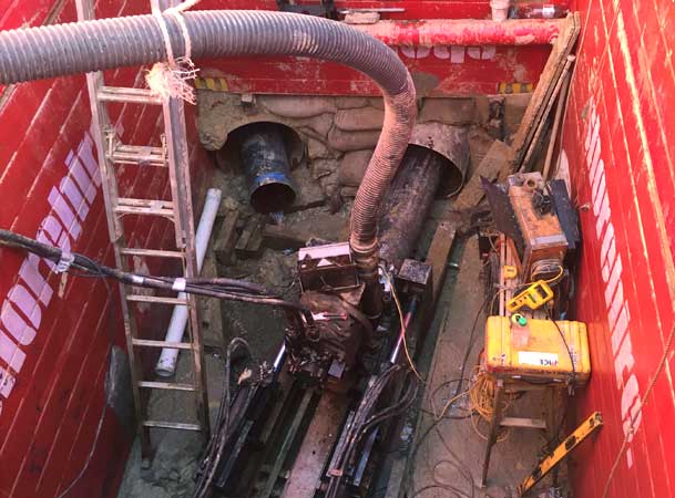
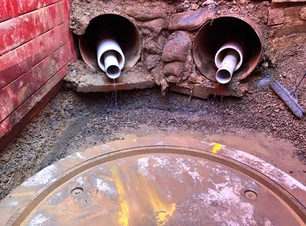
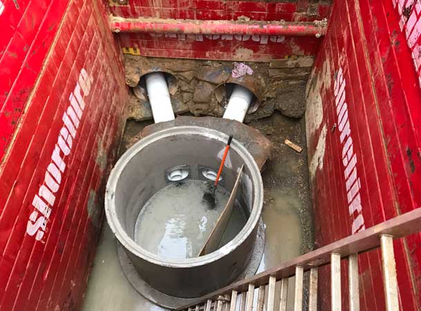
As part of the on-going works Pezzimenti Tunnelbore was contracted to microtunnel 2 bores under the M1 designed to convey ground water from underneath the high side on the M1 to the low side under gravity. The aim was to intercept and drain a water bearing coal seam which is located some 18m below the M1.
Project Details
The microtunnel cross section was designed by RMS based on existing dewatering hole standards.
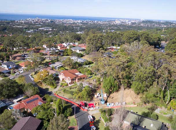
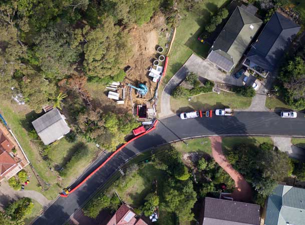
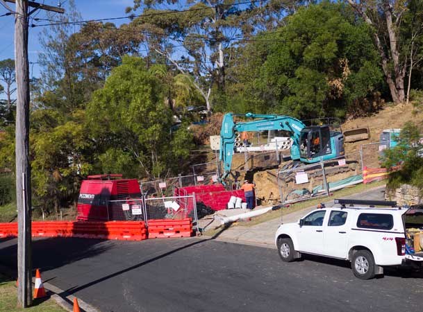
Construction work was carried out in a residential area which imposed tight constraints an working room, access availability and minimising the impact on nearby residents.
The 2 microtunnels were each 375mm in dia, 100m and 101m long at grades of 3.5 and 5.5%.
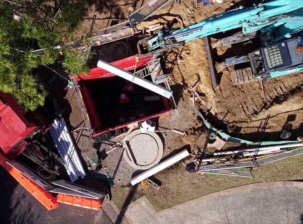
Pezzimenti partnered with Mystold Pty Ltd who completed the shaft excavations, fabrication of the slotted pipes, pit construction and landscaping/restoration.
Mount Ousley: Watch Video



Assessing the Success of the Dewatering Project
RMS Geotechnical Engineer Dan Horan noted ‘the horizontal drains were almost immediately successful, receiving substantial groundwater inflows. Groundwater pressures were relieved in the vicinity of the drains, reducing the groundwater table below the M1 at the site by up to five metres.
To paraphrase Dr Phil Flentje, Senior Research Fellow, Faculty of Engineering and Information Sciences, University of Wollongong*:
Early measurements of ground water flow showed about 45,000 litres per day flowed from the DOB 4 collar which was extraordinarily good result. They may have both settled down to around 4-5,000 litres per day by early August and it will be interesting to see how this develops over the next few years and watch how it varies during rainfall events.
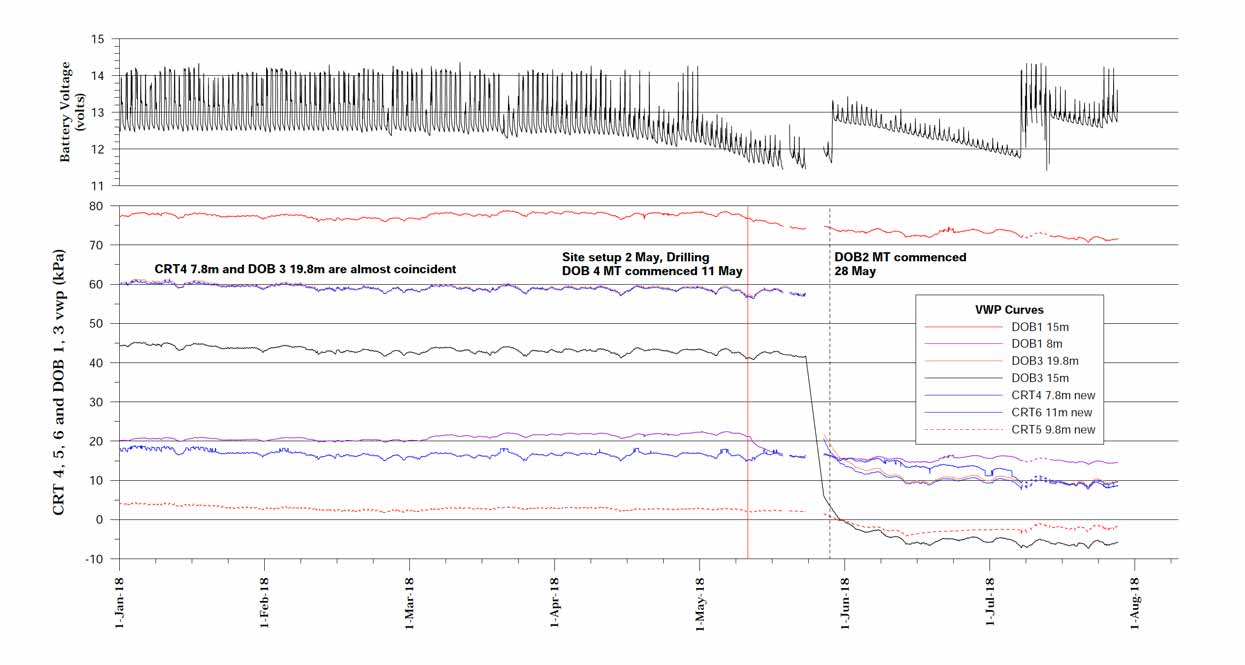
Figure 1 (below) highlights the commencement of the micro tunnelling works with a vertical red line, and a vertical dashed black line when the northern micotunnel was commenced. The pore pressure drawdown and highlighted in Figure 1 are the results of the pit excavation and the micro tunnelling works, and these drawdowns are significant. One of the monitoring wells (DOB 3) shows simply exceptional response to the drilling operations dropping over the 3 day outage from 45kPa to approximately 5kPa and continuing to drop since to small negative values.
Figure 1. Charting the pore pressure drawdown.
* Acknowlegements. Much of the technical input of this article are excerpts from a paper Continuous Monitoring of Landslides and Infrastructure for Asset Management – Dr Phil Flentje: Senior Research Fellow, Faculty of Engineering and Information Sciences, University of Wollongong, et al which was presented at the Sydney AGS Symposium in November, 2018


